
morels are never guaranteed in Uri. Start with the ecological profile of Morchella spp.. Reuss valley and Central Alps defines the local frame; assess its effect on moisture, temperature and aspect. A potential mushroom spot for morels in Uri needs several matching clues rather than a familiar woodland name alone.
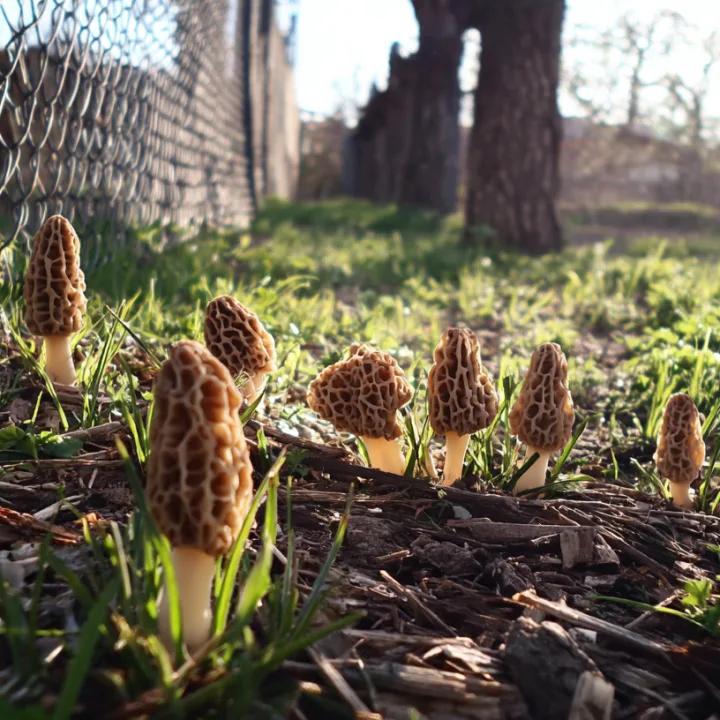
Habitat match
Edges, open woods, riverine areas or disturbed soils depending on species. In Uri, the regional context is Reuss valley and Central Alps. In spring, compare soil warming across edges, open woods, riverine habitat and older disturbed ground.
Read the local terrain
Steep slopes create many aspects and microclimates from valley floor to conifer belt. This mosaic calls for comparing terrain bands rather than treating the whole canton as uniform.
Choose the timing
Mainly spring, shifting later with elevation. In Uri, elevation, aspect and moisture retention can advance or delay that indicative window.
Search plan
Choose two broad areas within this terrain: Reuss valley and Central Alps. Compare the same soil and vegetation clues, and move on when the terrain does not fit. Cepello gives no exact spot and identifies no specimen. Treat every possible morel spot as a field hypothesis, never as a guaranteed location.
Assess a potential morel mushroom spot
In Uri, a potential mushroom spot combines several matching signals: habitat compatible with Morchella spp., suitable terrain, retained moisture and recent weather. Spot does not mean a secret coordinate or a guaranteed find.
The map helps you search. Never identify.
Cepello helps choose an area. The app does not identify mushrooms and never confirms edibility.
Cantonal foraging rules →FAQ
Frequently asked questions
Which habitat should you compare for morels in Uri?
Edges, open woods, riverine areas or disturbed soils depending on species. The local context is: Steep slopes create many aspects and microclimates from valley floor to conifer belt. Never use it as evidence of presence.
Does the map guarantee finding morels?
No. It helps compare potential conditions, reveals no exact location, identifies no mushroom and never confirms edibility.