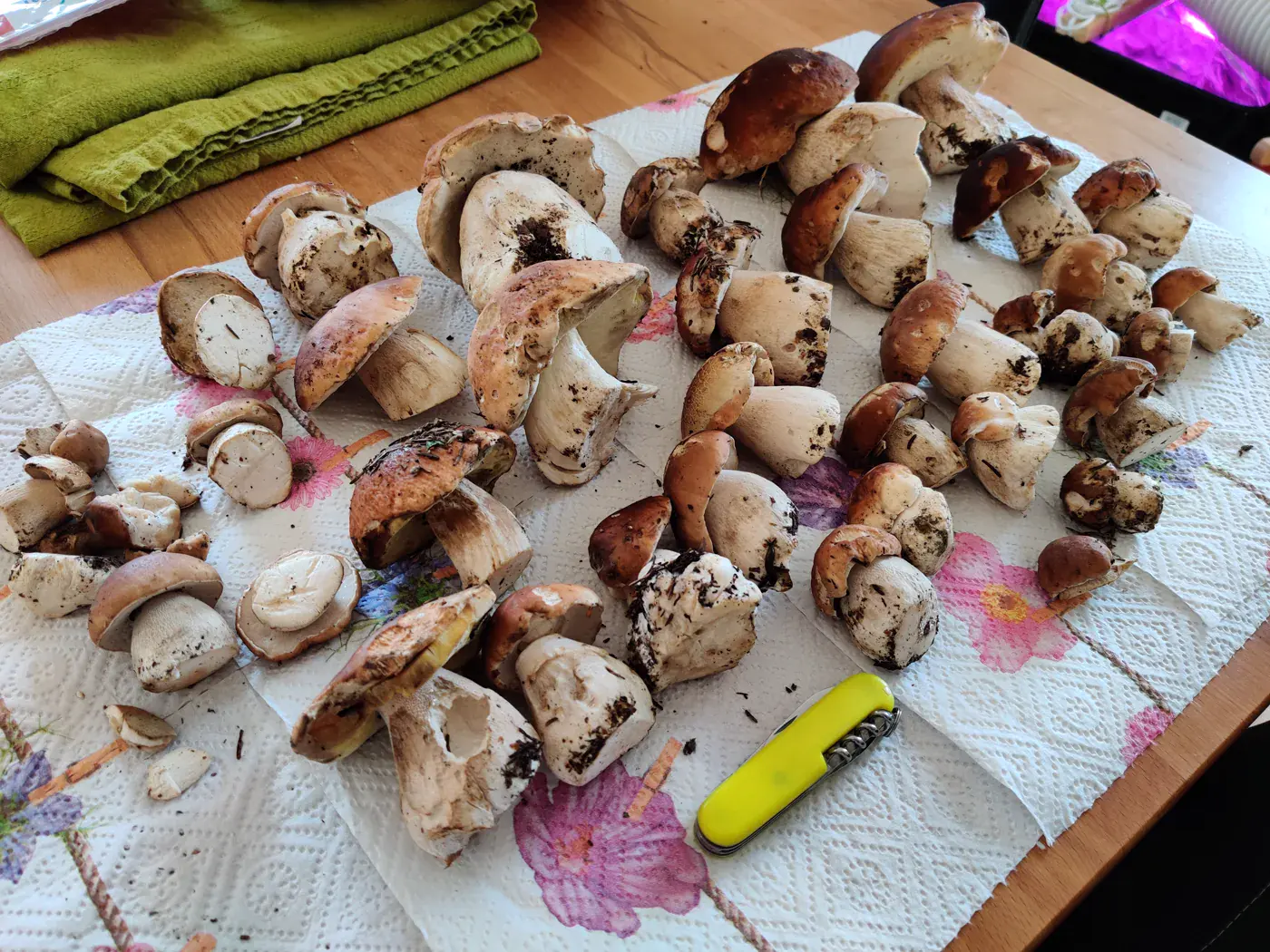
“Hüt hets richtig gfägt”
SteffanCepello member
The mushroom map for Switzerland
Cepello combines habitat data with recent weather conditions to estimate where conditions may be favourable for mushrooms in Switzerland.
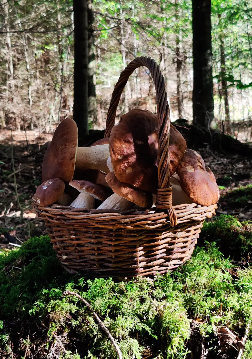 Community photo
 HelloWhere to next?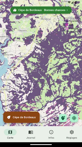
The Cepello community
Photos submitted by our users, shared with permission and always without revealing precise locations.
“Hüt hets richtig gfägt”
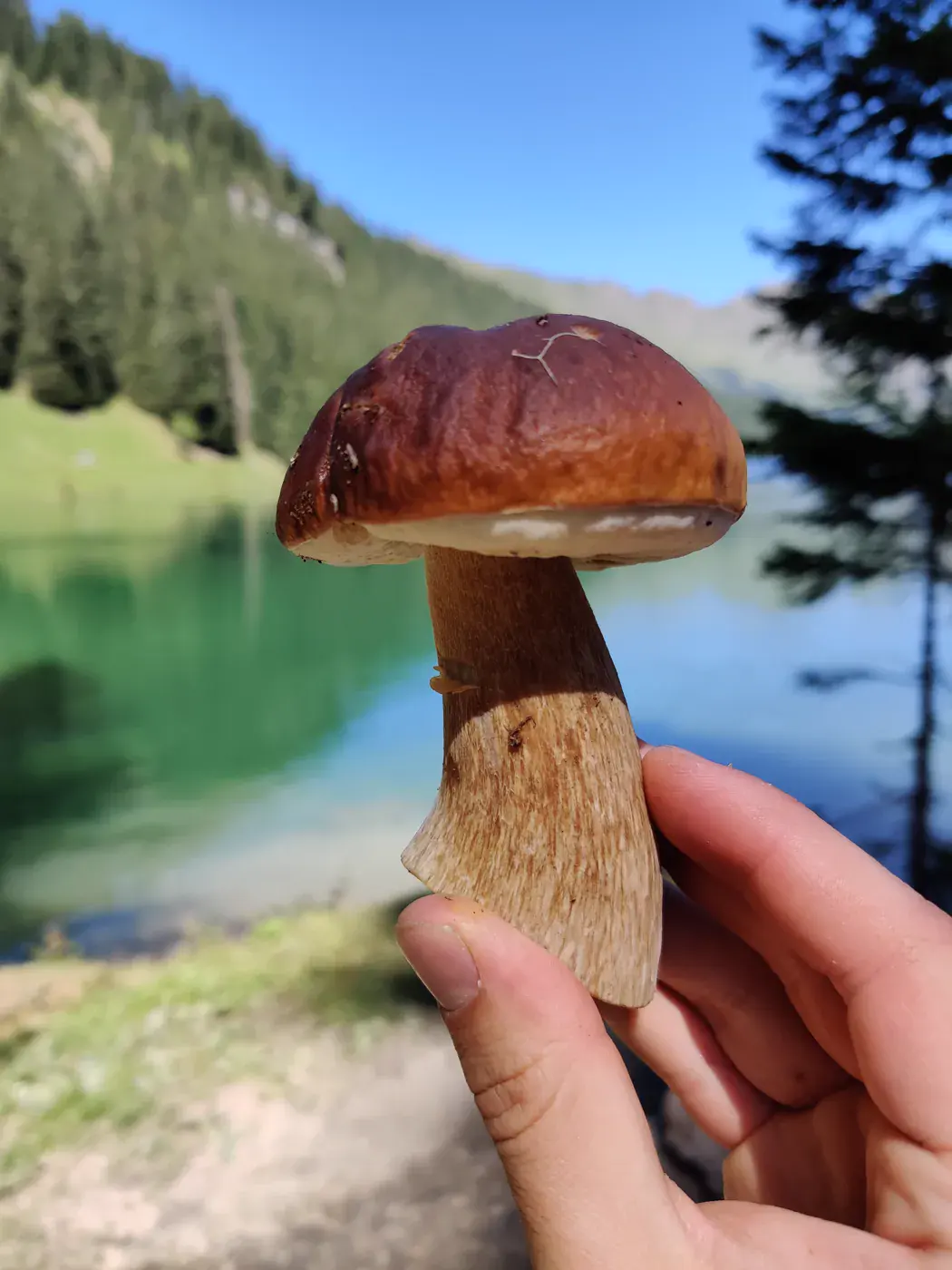
“magnifique bolet dans les préalpes”
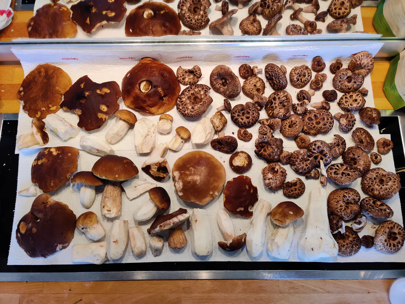
“on pensais rentrer bredouilles”
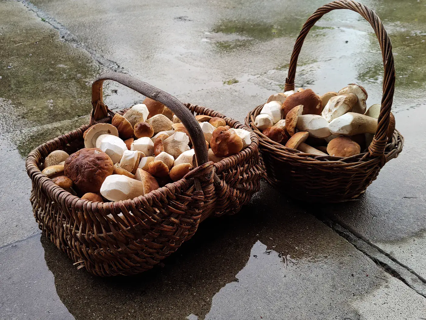
“Deux paniers pleins quelle journée”
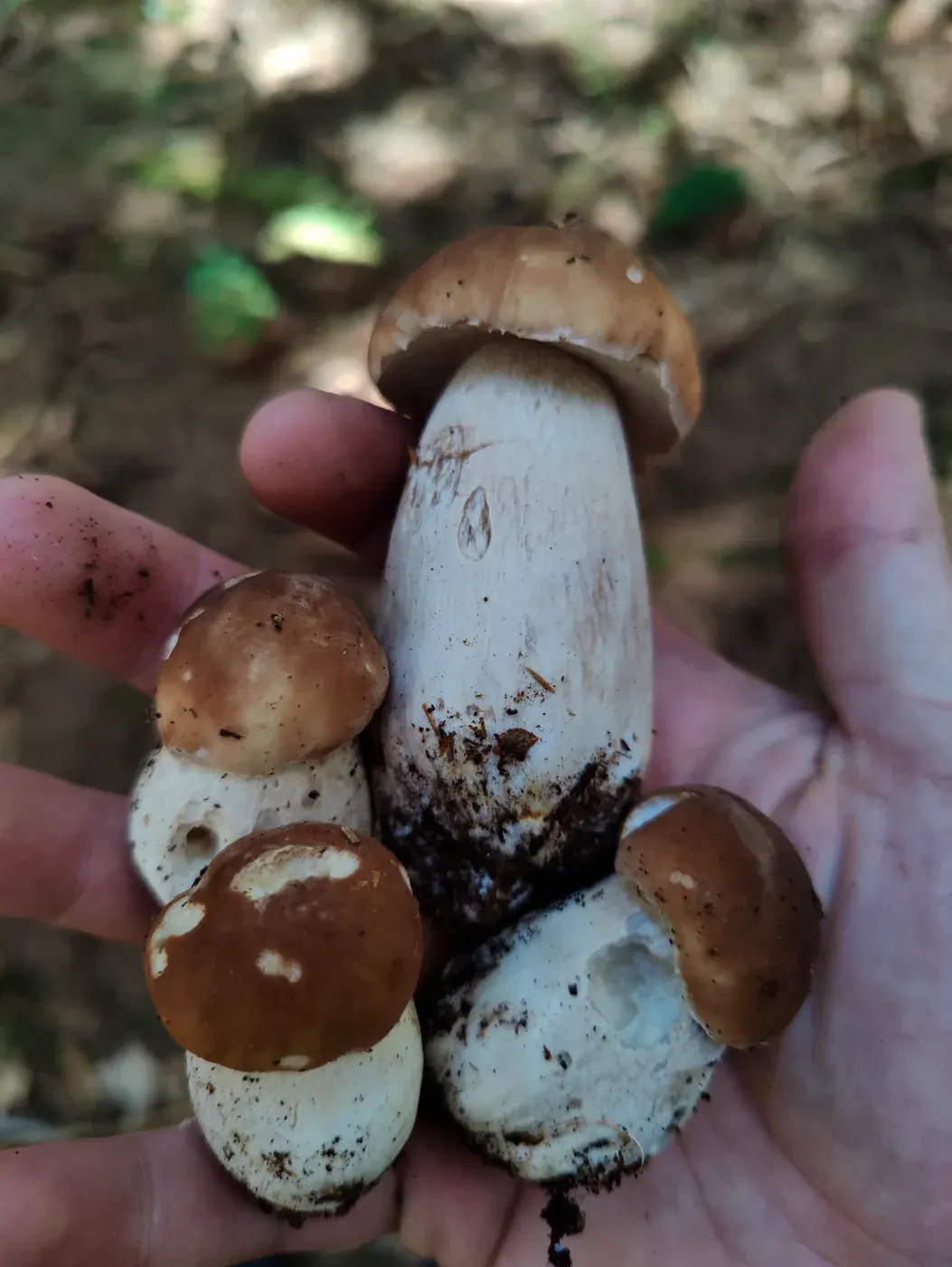
“j’en revenais pas”
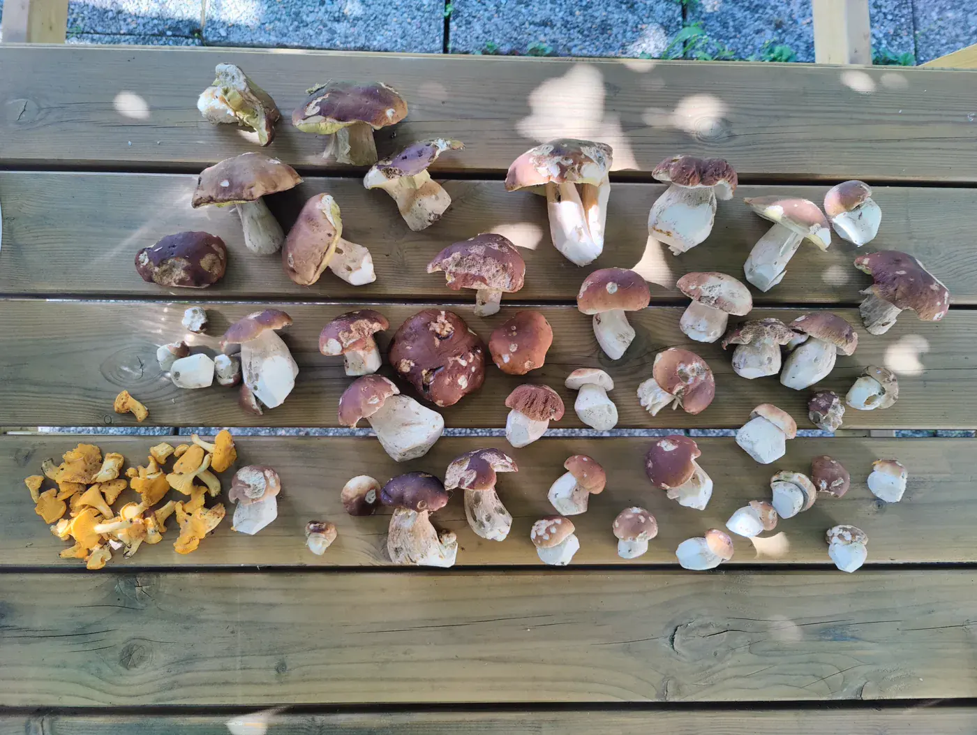
“De ganz Morge fascht nüt und de plötzlich das”
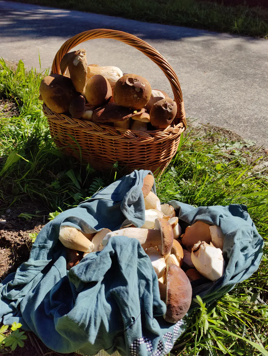
“J'ai du utiliser mon t-shirt pour porter une partie de la récolte, dinguerie”
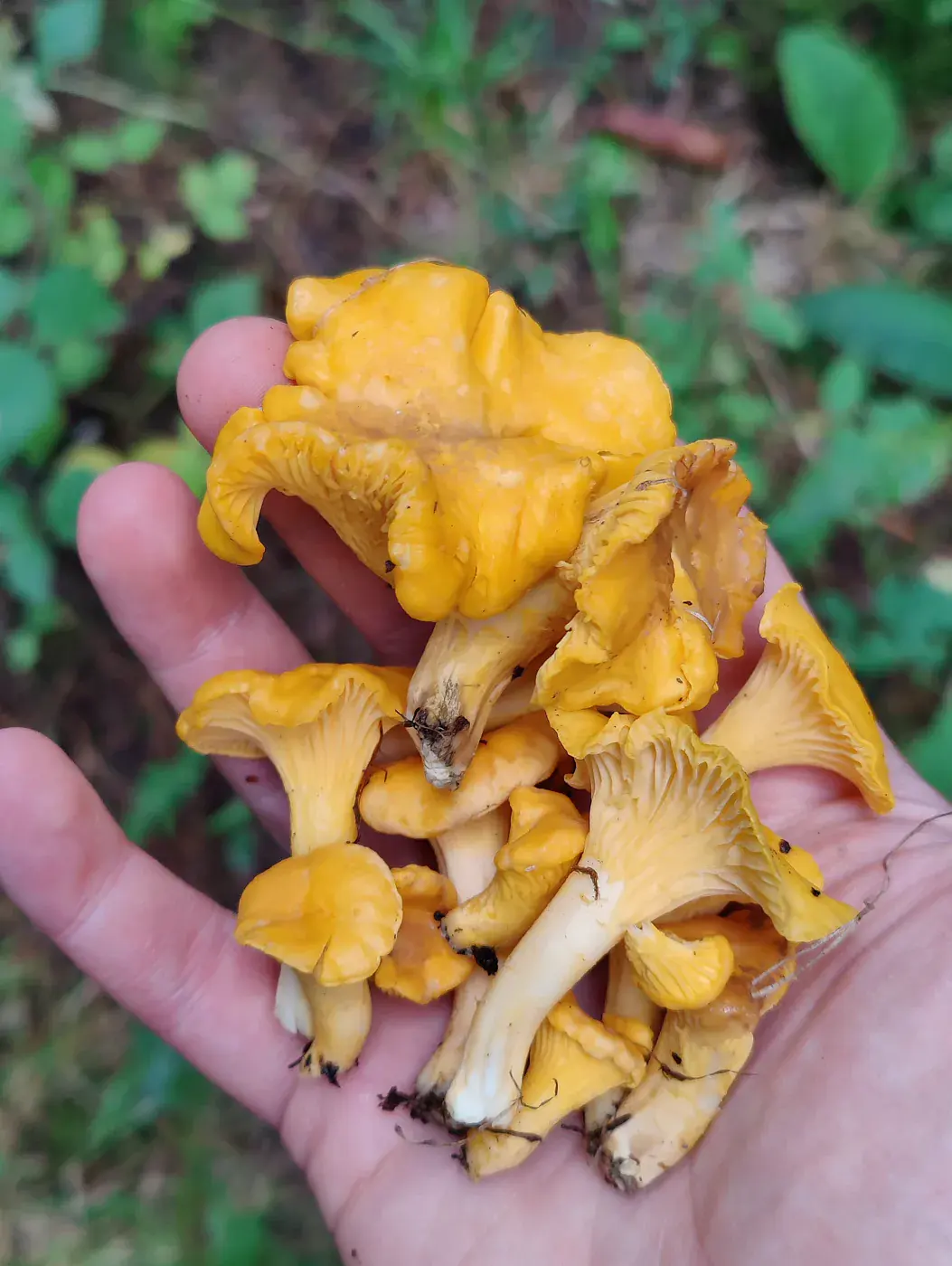
“Finalmente i gallinacci”
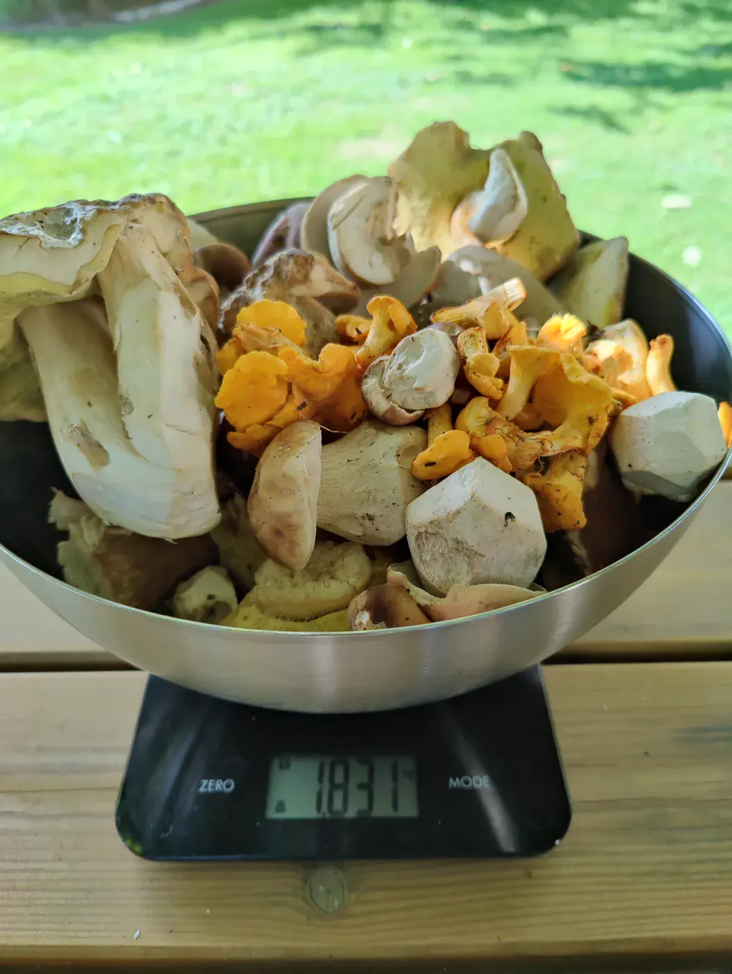
“1,8 kg sur la balance.”
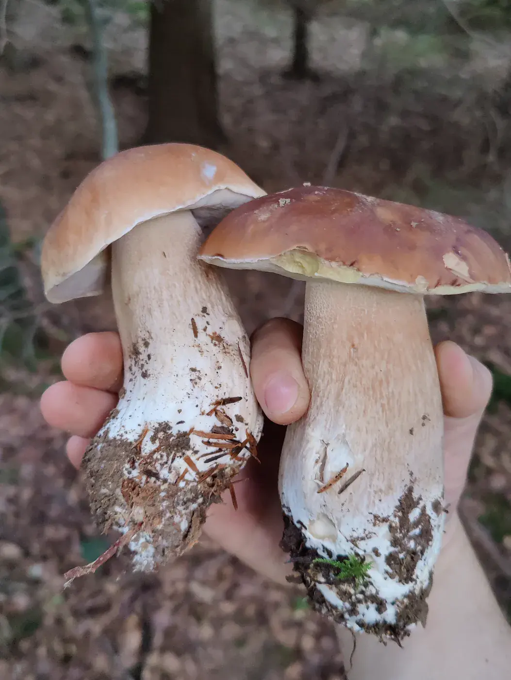
“Première zone que je visite après avoir téléchargé l'app, deux beaux spécimens =)”
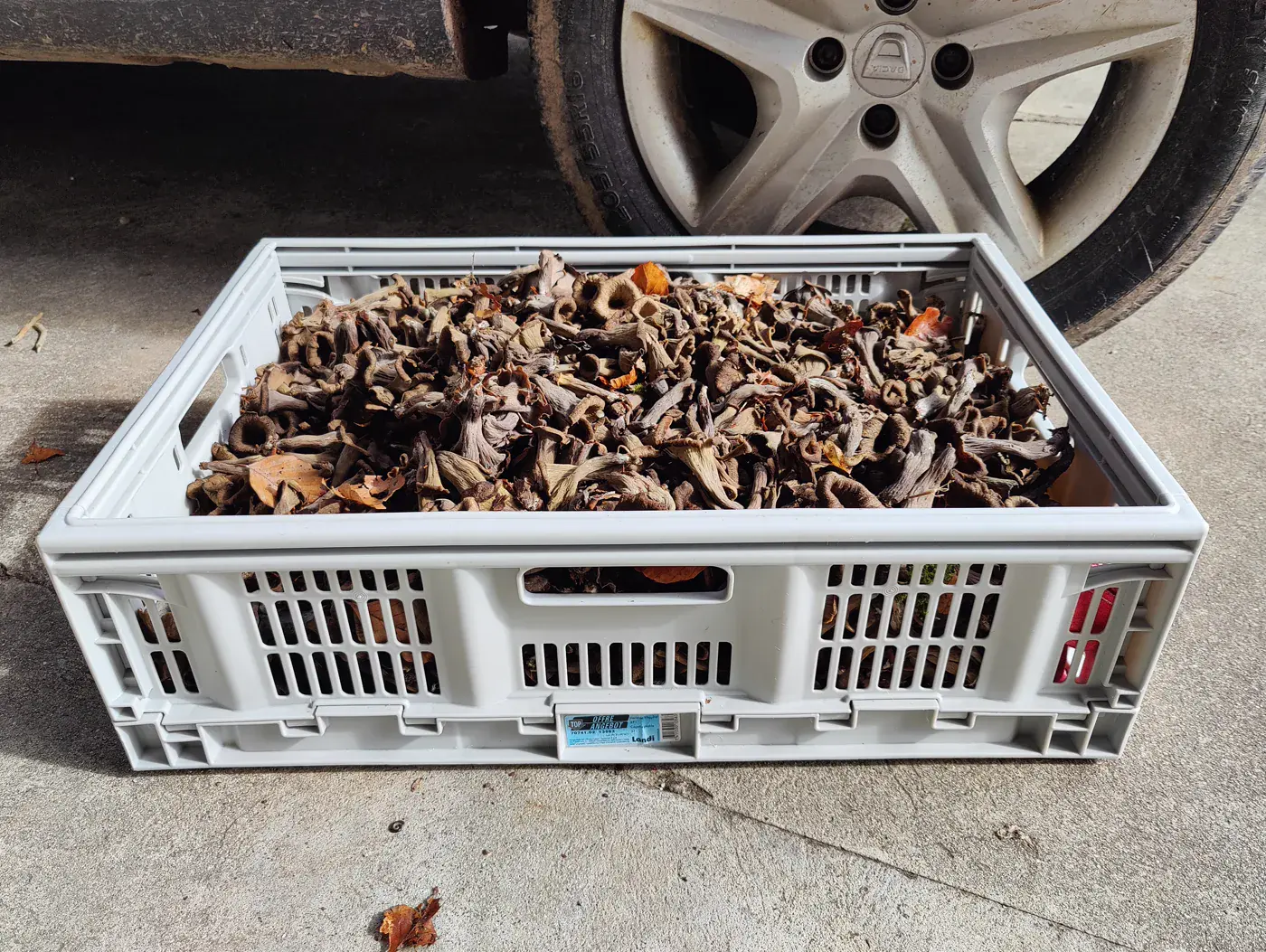
“Der Wald het glieferet.”
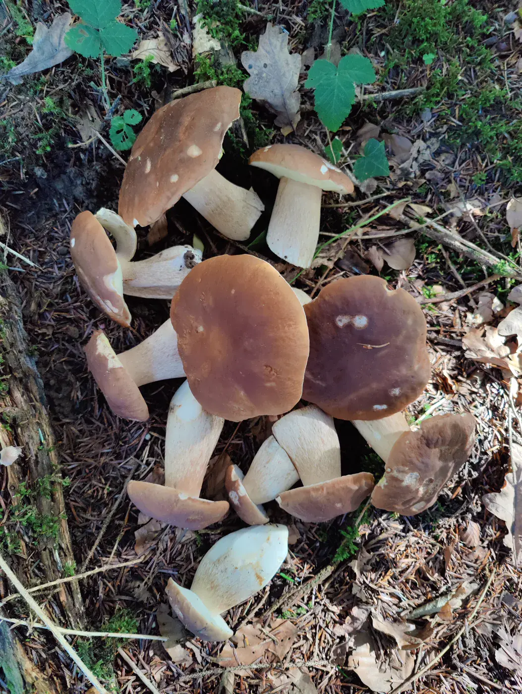
“Grad näbed em Wäg”
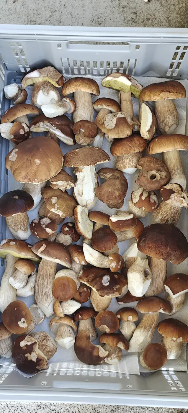
“3kg en 2 heures!!”
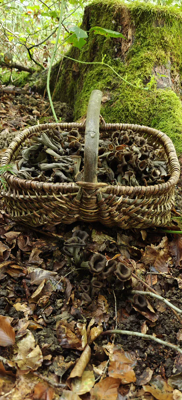
“Schwarzi Trompete überall!”
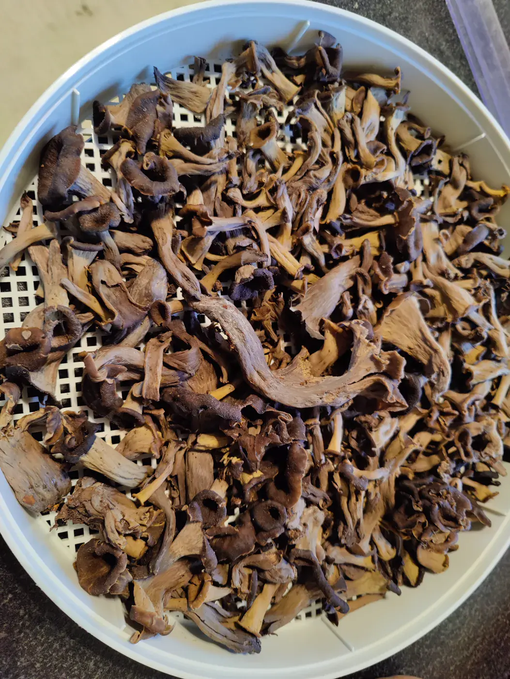
“Enfin les trompetes elles se faisaient attendre”
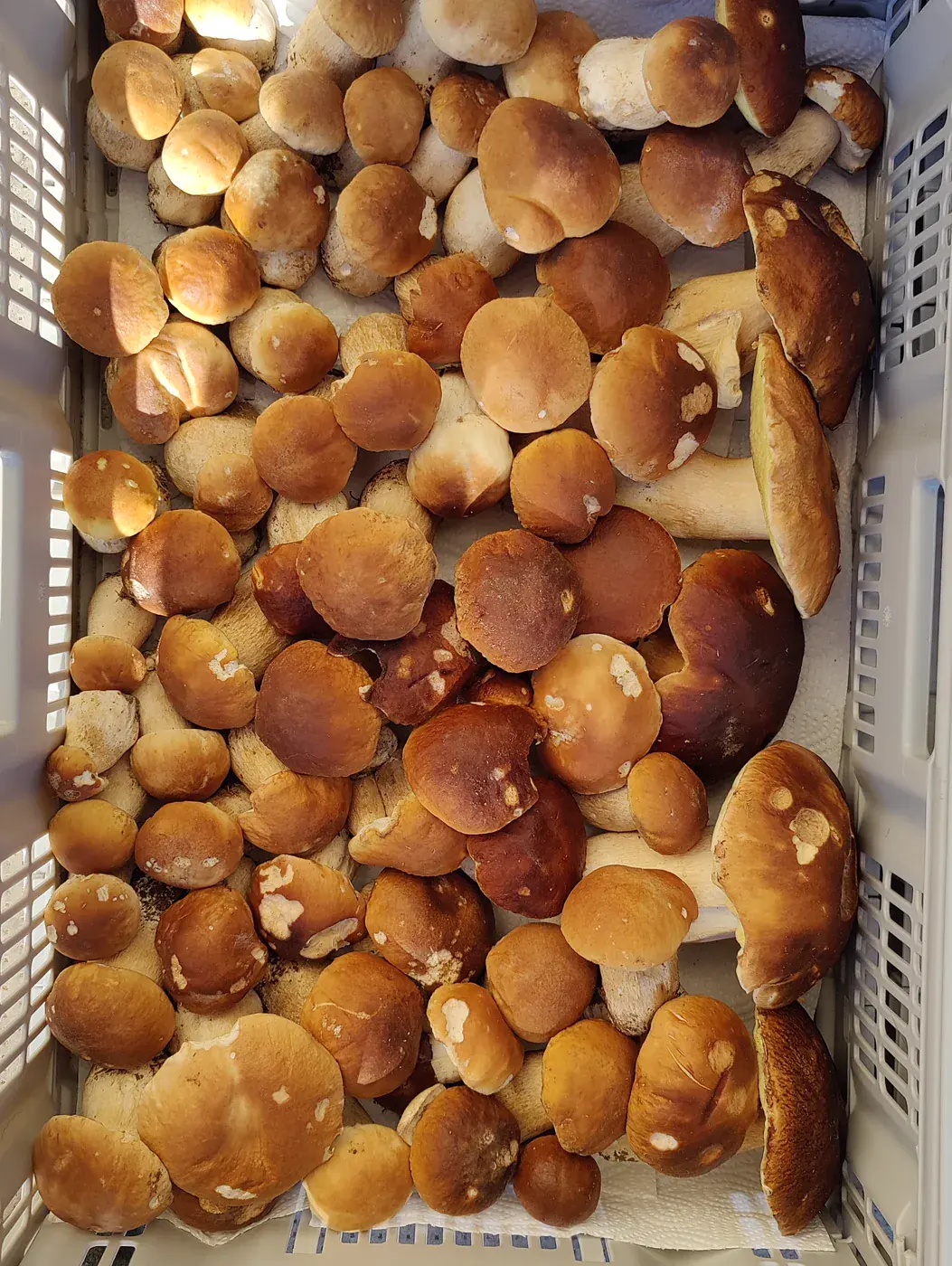
“Ma meilleure sortie de la saison.”
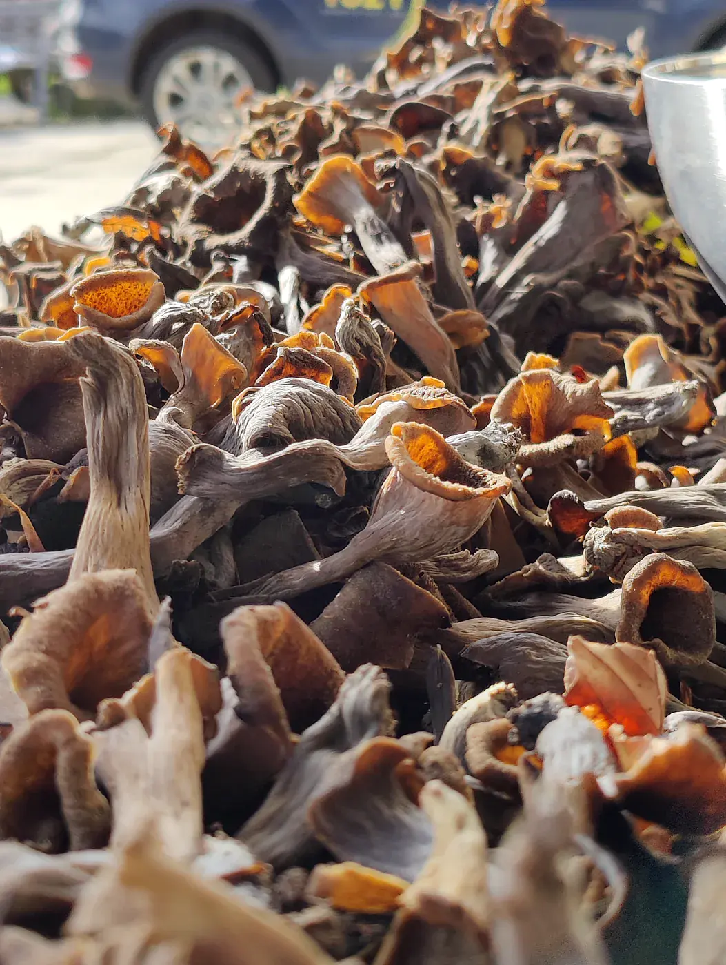
“Des trompettes partout aujourd’hui !”
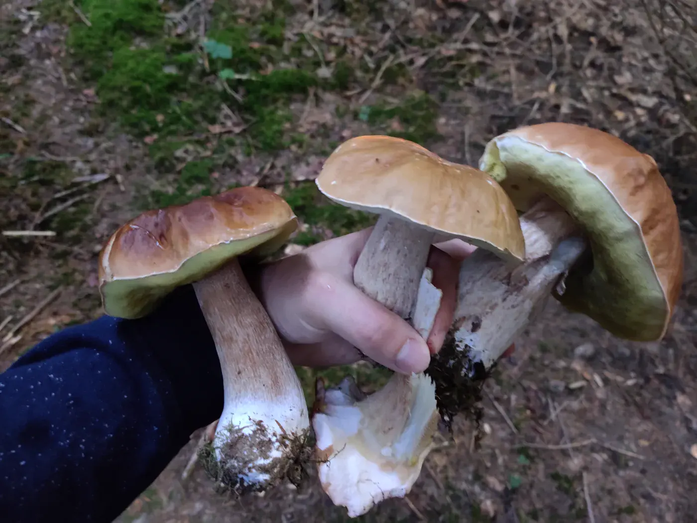
“trois beaux cèpes au même endroit”
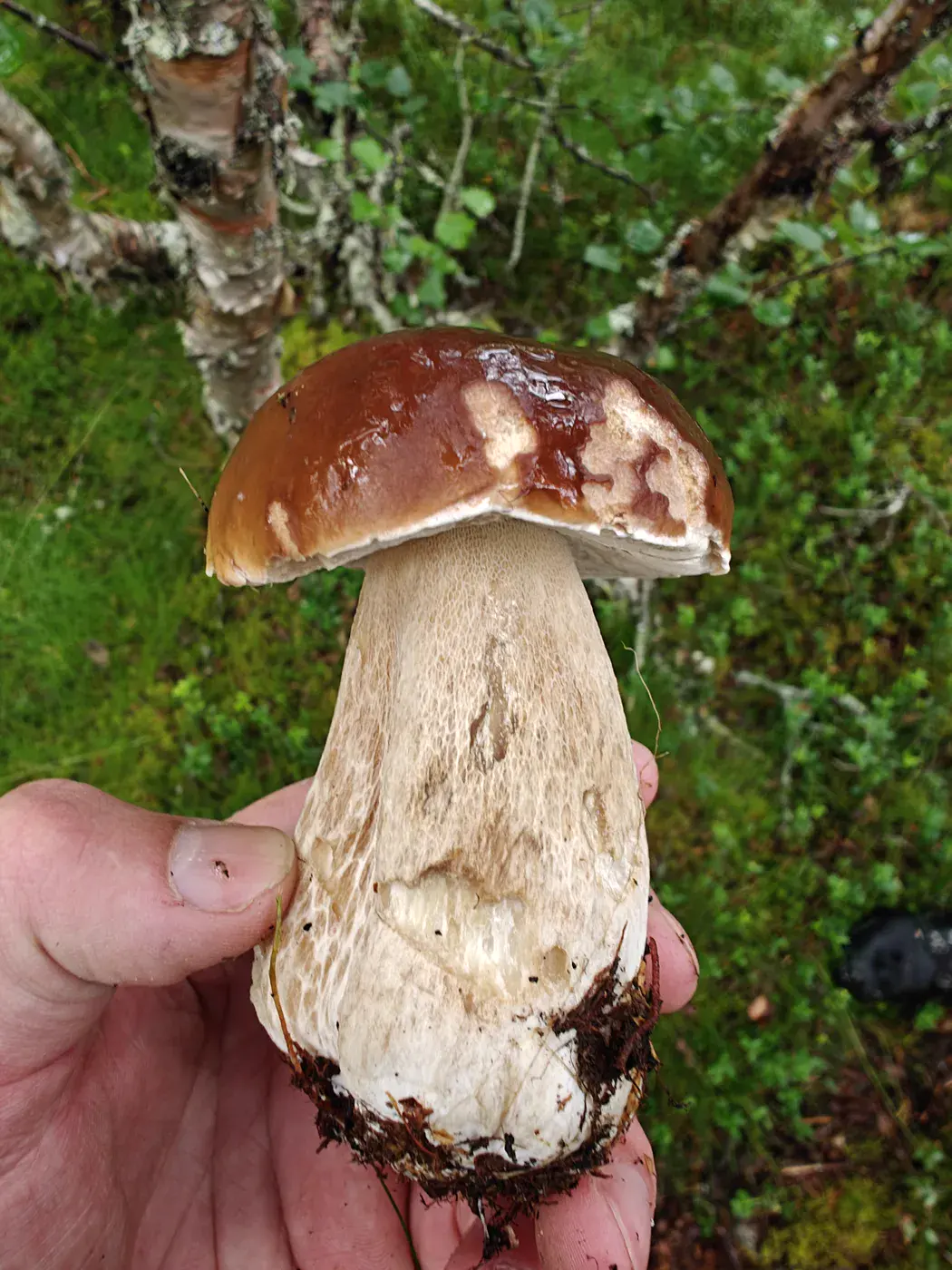
“So en Brocke hani no nie gfunde”
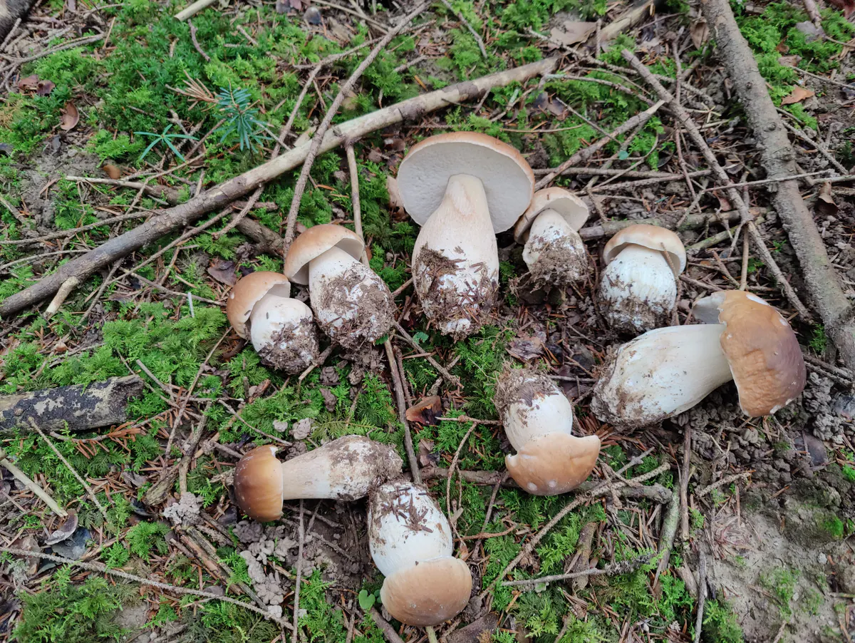
“tous dans le même coin j'y croyais pas”
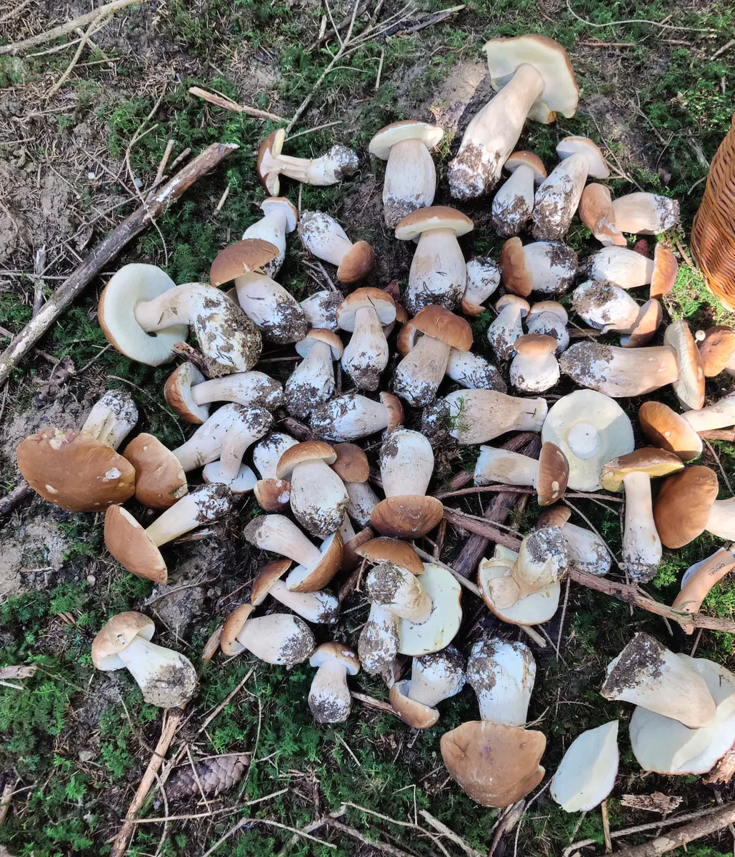
“So öppis hani sit Jahre nümme gseh”
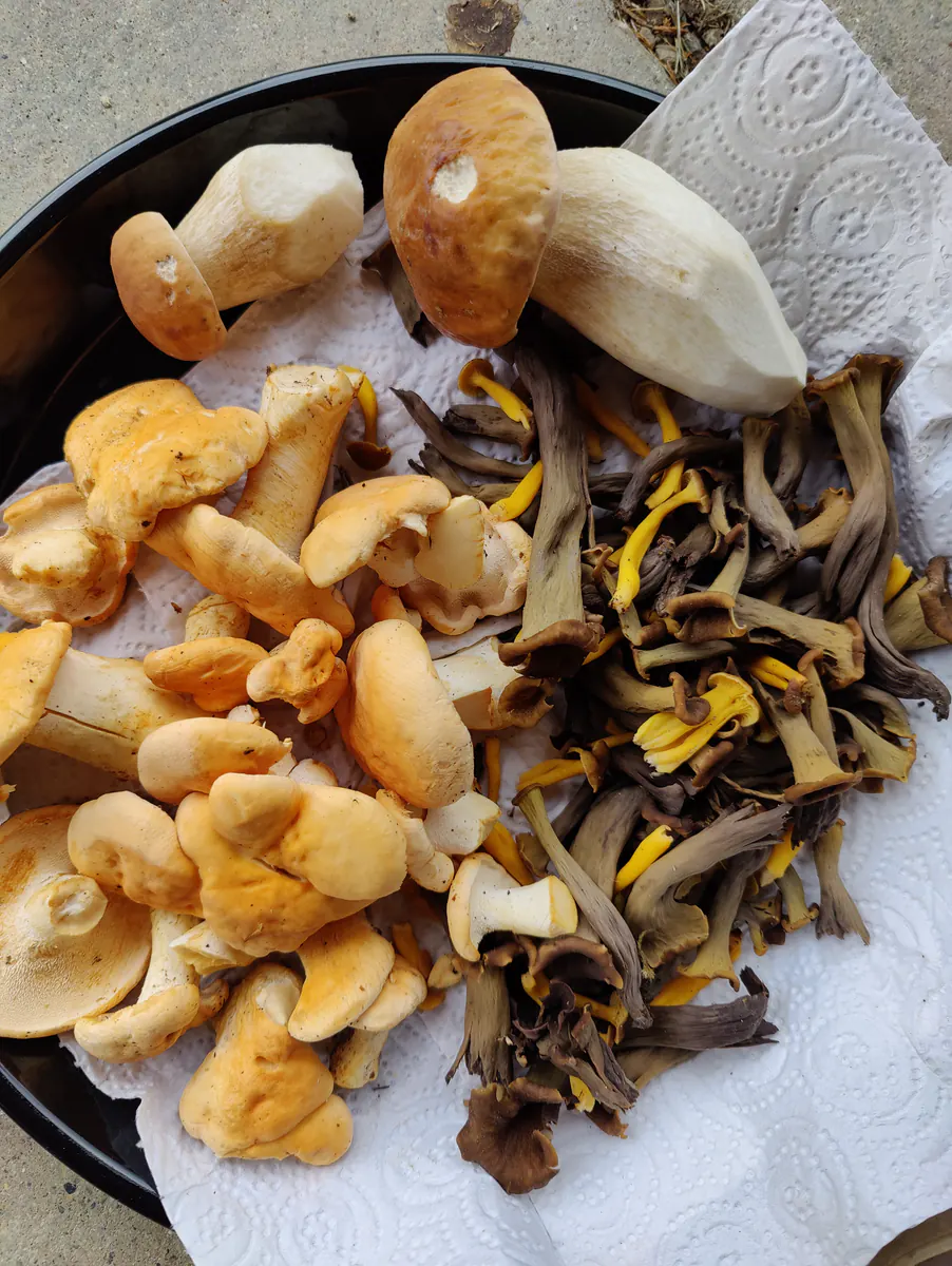
“Un po' di tutto oggi che bosco”
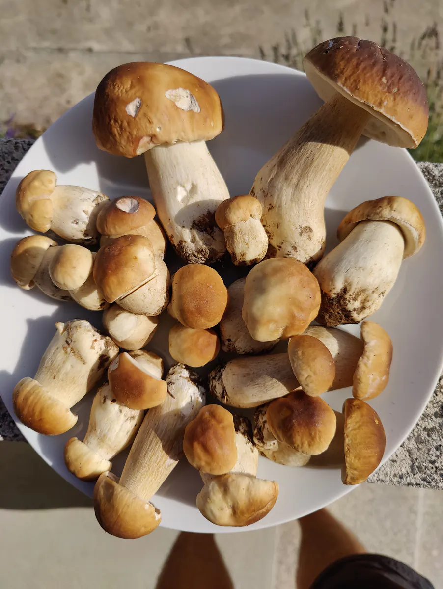
“La table etait bien remplie ce soir”
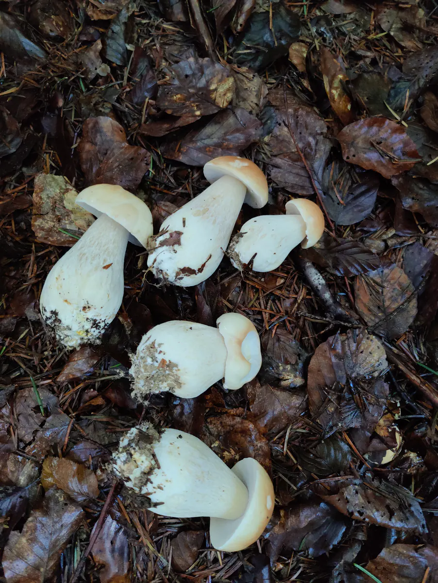
“Füf Stück grad mitenand im Laub”
Plan a better woodland trip
Habitat, weather, terrain and season on one map.
Explore →CEPELLO APPFor finding promising areas, not identifying a photograph.
Explore →CALENDARMorels, porcini, chanterelles and black trumpets.
Explore →VAPKO · SAFETYWhat a photo can suggest and why inspection remains essential.
Explore →Porcini, bronze boletes, summer boletes, chanterelles, morels and black trumpets across all 26 cantons.
Explore →GuidesPractical Swiss guides for better prepared and responsible woodland trips.
Explore →Potential, never a promise
Mushrooms respond to many conditions. Cepello turns scattered signals into one clear map.
Elevation, forest cover, soil and tree species provide ecological context.
Recent rain, temperature and seasonality highlight more interesting windows.
Compare areas without pretending to know an exact mushroom location.
The app
Explore Switzerland, compare local potential and understand each estimate.
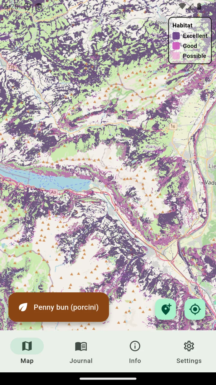
Explore Switzerland and compare habitat potential directly on the map.
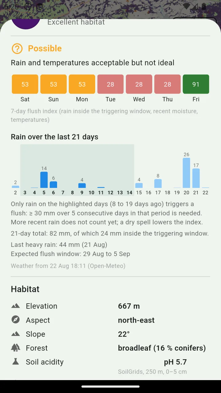
Rain, temperatures, expected timing and habitat brought together in one place.
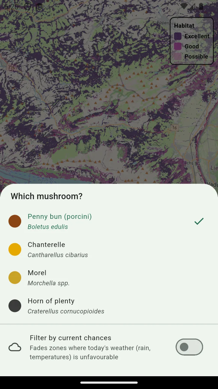
Porcini, bronze boletes, summer boletes, chanterelles, morels and black trumpets.
Species available in the app
Cepello currently covers porcini, bronze boletes, summer boletes, chanterelles, morels and black trumpets.
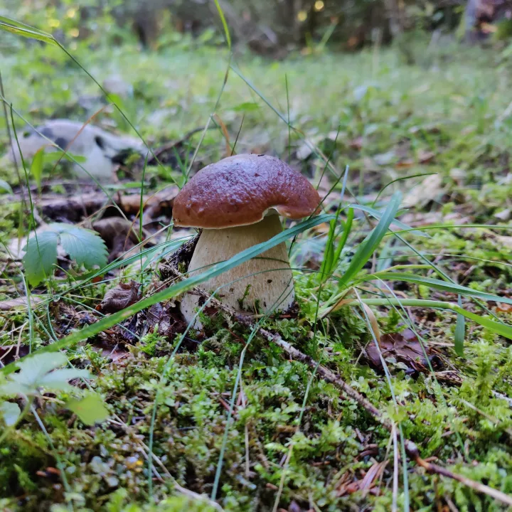
Broadleaf and conifer forests, often with beech, oak, spruce and fir.

Warm, open, mature broadleaf woodland, especially with oak and sweet chestnut.
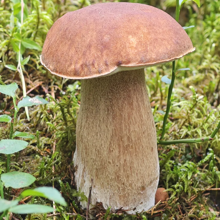
Relatively warm broadleaf woodland, especially with oak, as well as beech and sweet chestnut.
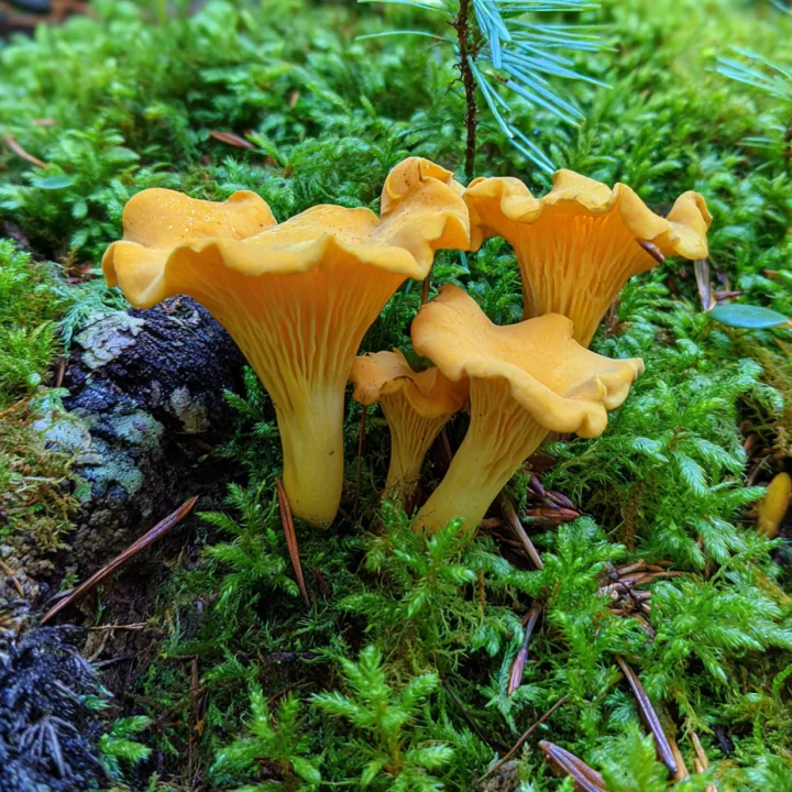
Woodland soils beneath broadleaf or conifer trees, damp but not waterlogged.
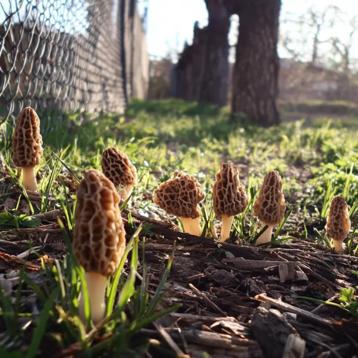
Edges, open woods, riverine areas or disturbed soils depending on species.
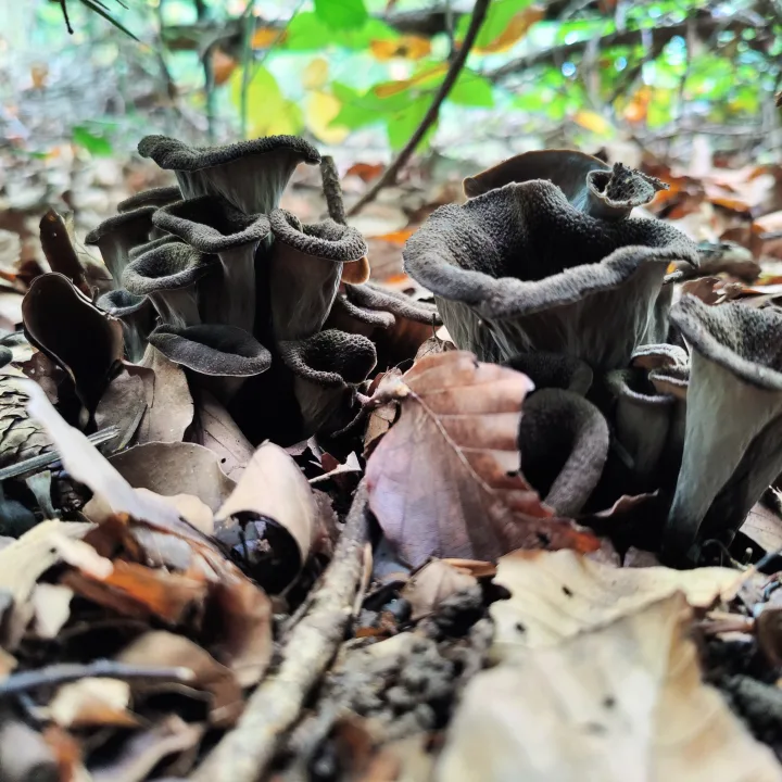
Broadleaf woodland, often with beech or oak, on cool soils rich in humus.
145 · 144
Cepello does not identify mushrooms and never confirms that a specimen is edible. Have your entire collection checked by an official inspection service.
Uncertainty or mild symptoms: Tox Info Suisse 145. Acute symptoms: 144.Read the safety guide →Cepello
Check conditions, choose an area and start better prepared with Cepello.
Now available on Android and iPhone.
Basic access is free. Advanced features and terms are shown in the app.